DITCH THE DRONE SHOTS
- Experiences >
- Mexico >
- La Paz >
- Aerial Photography
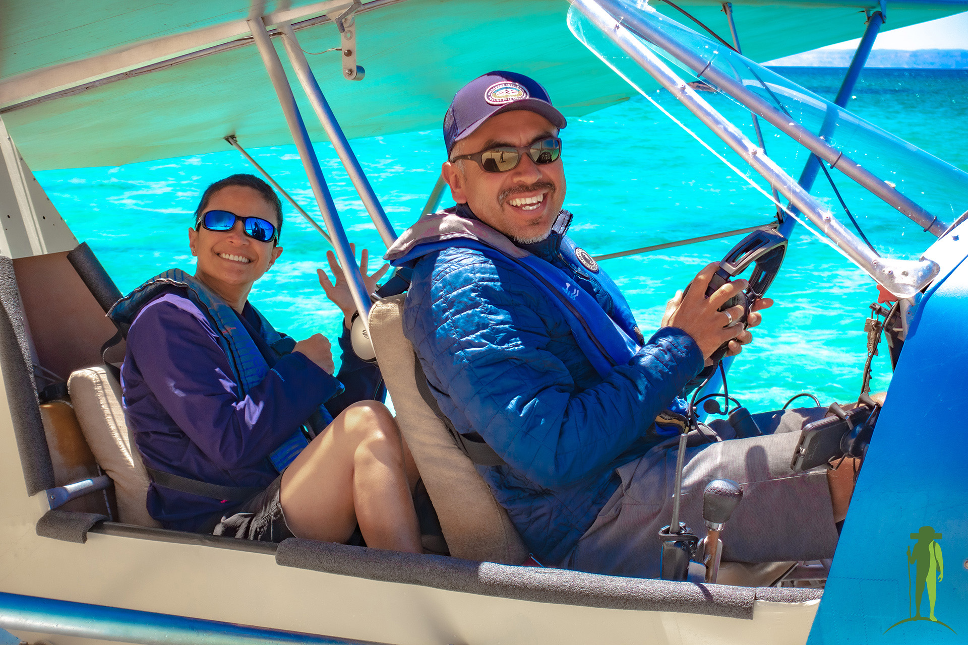
Support conservation through aerial surveillance over the Bay of La Paz. Take part in the monitoring of marine fauna that inhabit and transit through the area when you embark on your panoramic La Paz aerial tour. This initiative involves 5 Mexican civil associations who work together to create sustainable management plans for the Sea of Cortez.
Your scenic aerial experience can be as short as 10 minutes, or as long as 75 minutes. Take photos or simply enjoy the view as your pilot shares up-to-date research data on the conservation project. Be on the lookout for megafauna and other interesting sights that you may see below!
BEST TIME TO GO
September through June
PRICING
USD 165 for 10 minutes;
US$ 195 for 25-30 minutes;
USD 225 for 30-45 minutes;
US$ 380 for around 75 minutes.
Actual flight duration may vary depending on wind conditions and other factors.
Pricing based on an exchange rate of USD 1 = MXN 16.50.
You will be charged in MXN.
WHAT'S INCLUDED
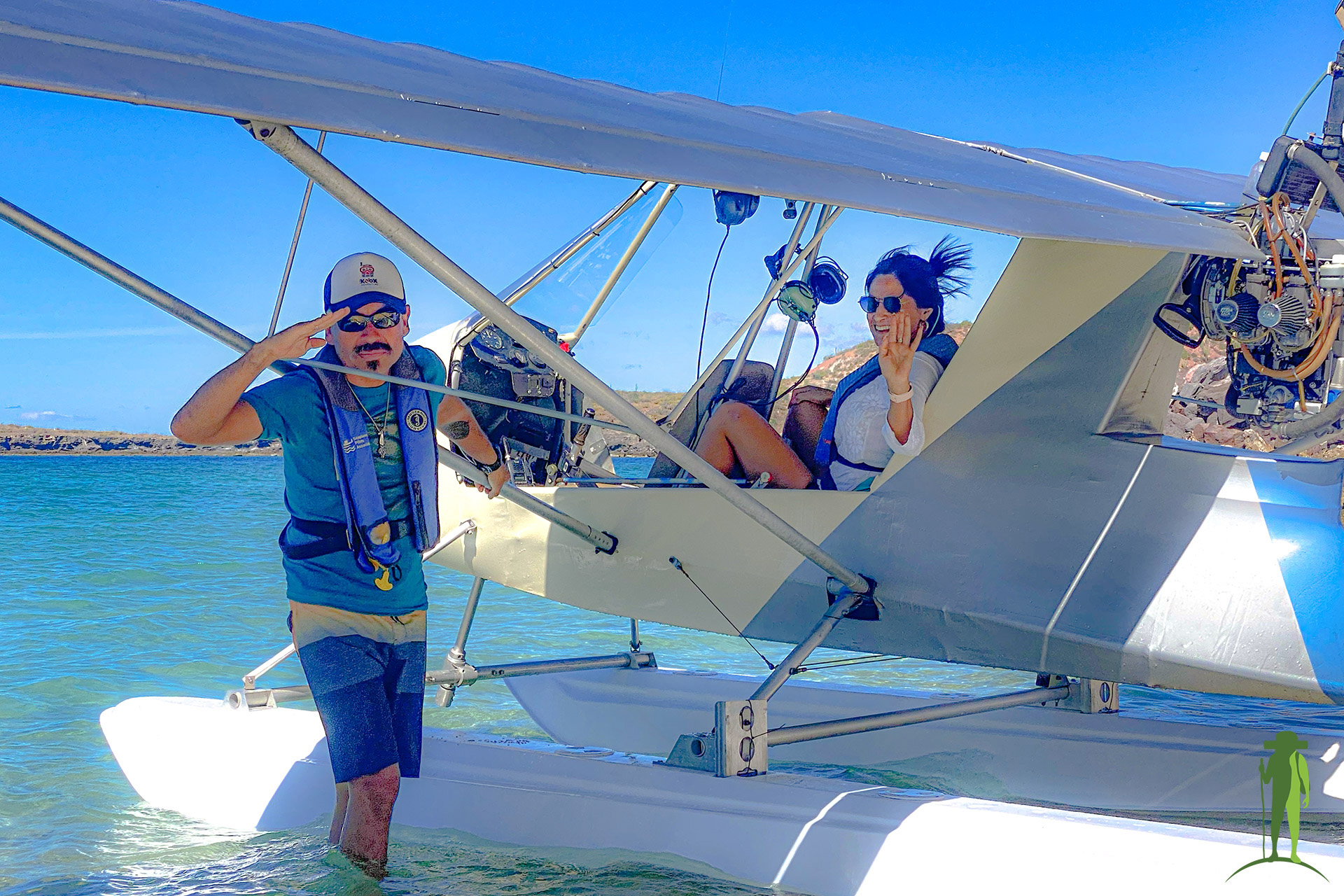
An experienced pilot who has over 8,500 flight hours;
Your personal flotation device;
Scenic aerial views;
Unique photo opportunities;
Participation in the conservation of the Bay of La Paz.
Gratuities are not included.
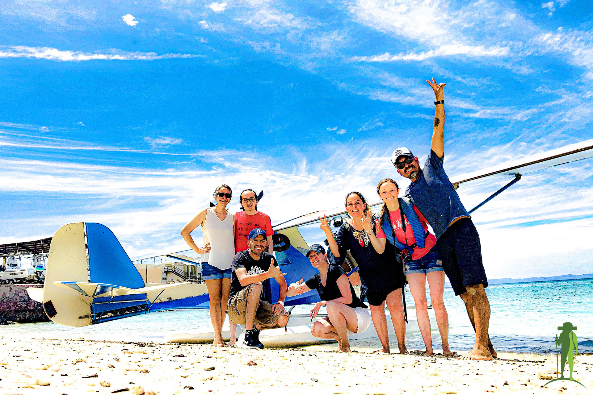

Fly and Shoot for Conservation
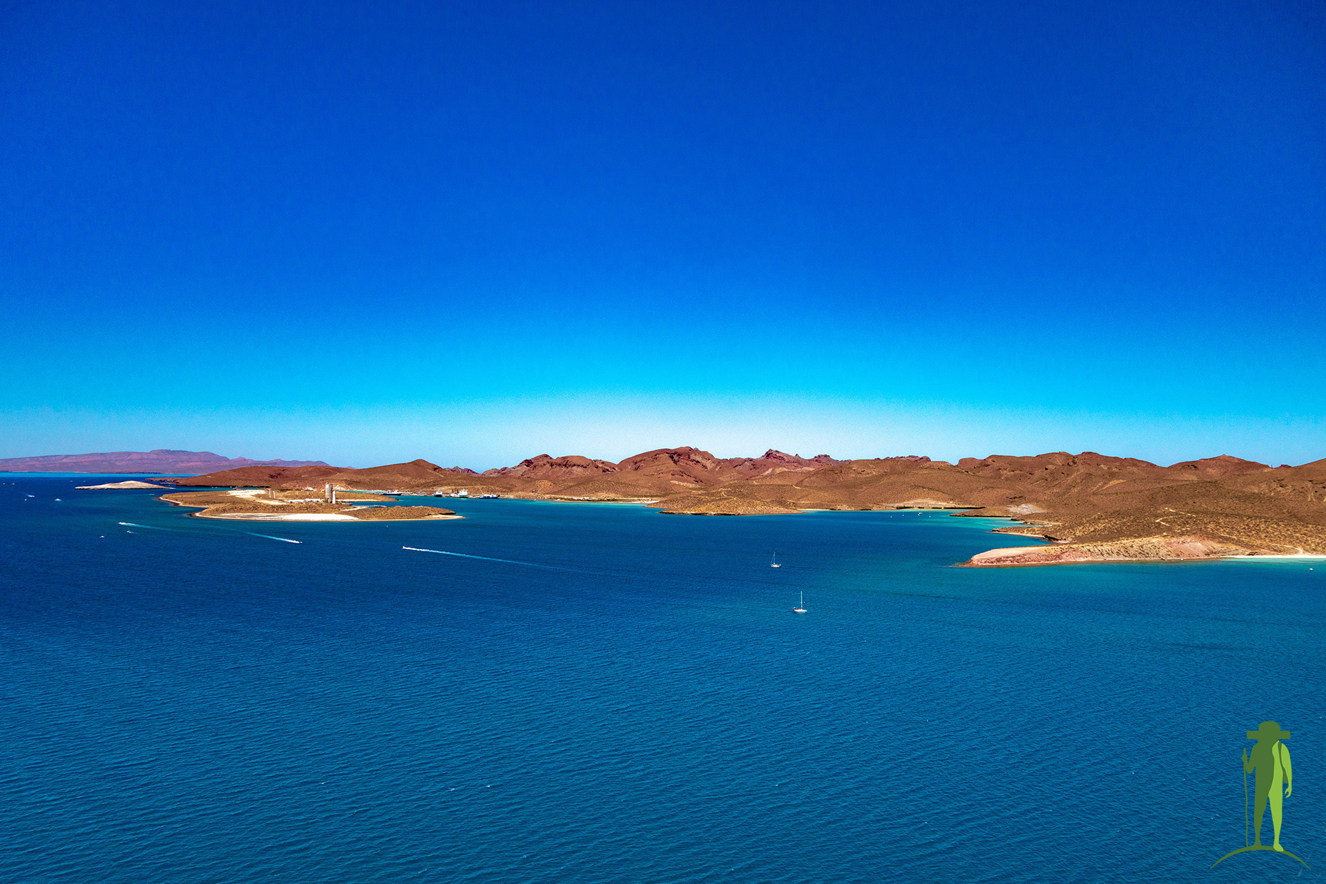
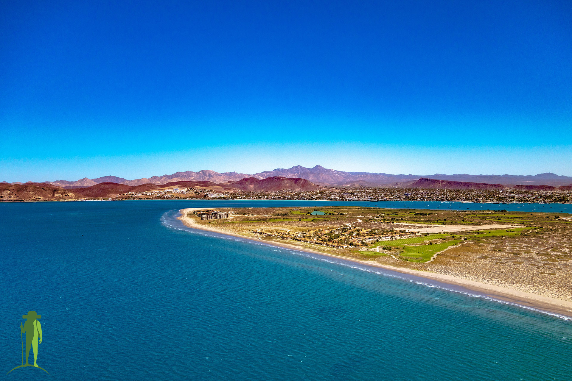
Espiritu Santo Island and its surrounding areas in the Sea of Cortez are a favorite subject of nature photographers. Its picturesque bays and impressive landscape have drawn cameramen from all over the world to try to capture its natural beauty. Stunning images of the Island have been shot by photographers, and underwater videographers have been able to successfully document what lies in its depths. Aerial shots and panoramic photos of Espiritu Santo Island have also been taken using a drone, but you will need a special permit to fly one over the national park.
Instead of letting your drone to the work and having a virtual experience through a small screen, why not enjoy a real, immersive aerial experience onboard a 2-seater seaplane that gives you a panoramic view of the Gulf of California from 1,000 feet (305 meters) up in the air? Get a bird’s eye view of the Gulf as you take photos and videos of the beautiful scenery below. Together with your captain, you will also be tracking and recording the movement of megafauna in the Sea of Cortez. Data collected during your flight will help to understand their behavior and, ultimately, improve their conservation status.
Where you’ll fly
Various routes have been pre-established in order to maximize the surveillance coverage of the area. The departure time and the flight route of your La Paz aerial tour will be planned 48 hours before in accordance with the day’s operation and the weather forecast.
Insider Notes
Conservation flights have been running over the Bay of La Paz and the Cerralvo Channel since 2008. Seaplanes dedicated to this initiative have a flight range of up to 4 hours, allowing them to cover an area of around 390,000 hectares. However, this represents only 2.4% of the Sea of Cortez’s 16 million hectares, which leaves a significant portion unmonitored. With the involvement of tourists and conservationists, the monitoring range of marine megafauna will vastly improve, bringing the project closer to its goal of 20% coverage.
